Welcome to Margrove Ponds Nature Reserve
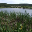
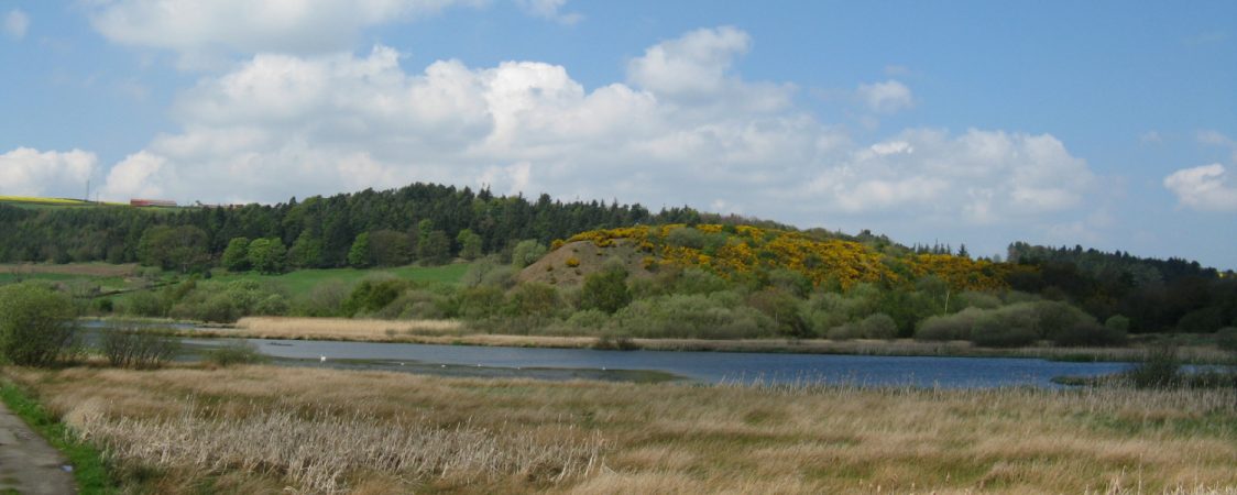
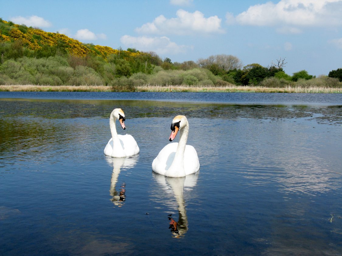
Margrove Ponds lies at the centre of the beautiful Margrove Valley. While the large expanse of open water is the main feature, this site also includes a variety of other habitats. Fenland surrounds the margins with dense beds of common reed and reedmace. All this supports an impressive 150 different bird species, including a number of scarce and rare birds. Two smaller ponds tucked away at the back of the site are home to frogs, toads and newts.
Facilities & Accessibility

Parking:
A small FREE car park is available a short way along the access track off Margrove Road.
What 3 words
https://w3w.co/sounding.organisms.attaching
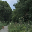
There is a larger FREE car park at our HQ, just half a mile back towards the A171. The reserve can also be reached by walking along the old cinder track running between Boosbeck and Fancy Bank (under a mile from either end).

Toilets:
Unfortunately, there are no toilets available on site, however, visitors are welcome to use the toilets at our HQ (during work hours – 9-5 weekdays).

Accessibility:
Access is mainly via a roughly surfaced access track and visitors should be aware that this also provides vehicle access to local farmland. This track is also liable to flooding at times of heavy rainfall.

Dog Bins:
There are no dog bins on site. KEEP DOGS ON A LEAD – CLEAR UP AFTER YOUR ANIMALS – DON’T DISTURB THE WILDLIFE BY LETTING YOUR DOGS LOOSE OR ALLOWING THEM TO PLAY IN THE PONDS. Thank you!

Slope
The reserve is almost entirely flat.

Paths
The main track is roughly surfaced with compacted aggregate. Care should be taken as this track is used occasionally by farm vehicles. There is a short section of unsurfaced path along the western edge of the pond, to a seat.
More info
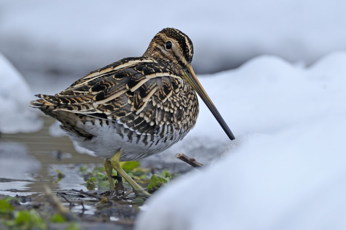
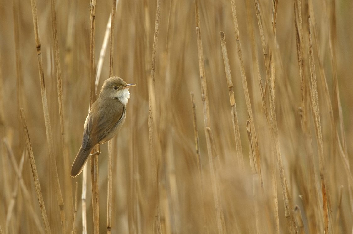
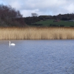
The main pond attracts waterfowl including greylag and Canada goose, mallard, teal, tufted duck and coot. Common snipe feed in the damp grassland to the left of the track while reedswamp and surrounding bushes are good for reed bunting and reed warblers. Water rails occasionally call from the reedy cover and the odd grey heron feeds along the water margins.
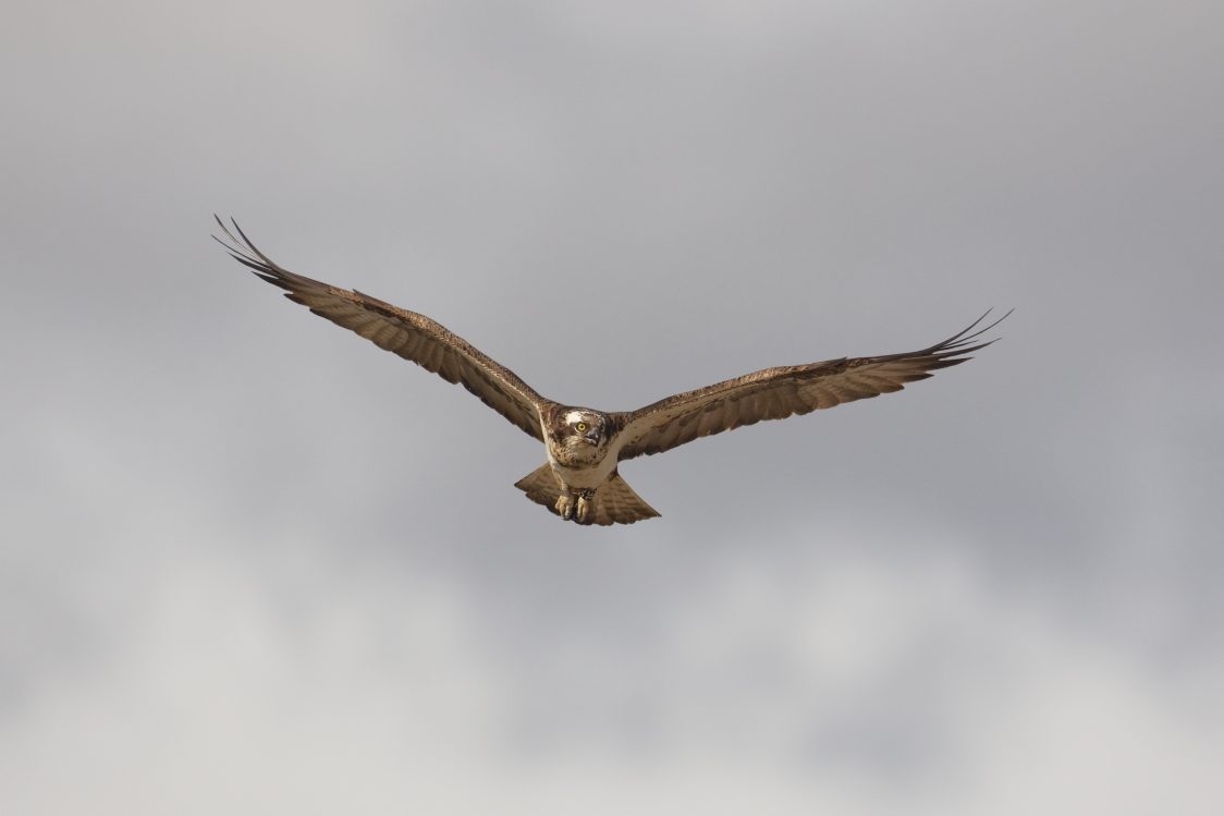
The valley sides, visible from the pond, are great for raptors, which can occasionally be seen when weather conditions provide thermals and up-draughts for them to glide upon. Common buzzard, sparrowhawk, peregrine and kestrel are all regularly seen and there is always a chance of goshawk and merlin. Other migrant raptors in spring can include marsh harrier, osprey and hobby.
Originally thought to be the remains of a post-glacial lake, it is now considered that Margrove Pond resulted from the weight of the adjacent 22 metre-high shale heap pressing down on soft glacial deposits. The shale heap belonged to the South Skelton Ironstone Mine which operated here between 1872 and 1954. The route of the old Middlesbrough to Boosbeck railway, which was constructed to serve the mine, is still visible at the northern end of the pond, while the terraced mineworkers’ cottages at Margrove Park climb the hill to the south and provide an attractive backdrop to the reserve.
Nearby Nature Reserves
Gallery
